Hurricane Michael Hits Florida Coast


Hurricane
Michael - a category four storm with winds reaching 155mph (250km/h) - has made
landfall in Florida's north-west Panhandle region.
According to
the National Hurricane Center, the eye of the storm touched land near Mexico
Beach, Florida, on Wednesday afternoon.
Hundreds of
thousands were told to evacuate but many have not fled.
Florida
Governor Rick Scott warned of "unimaginable devastation", saying it
would be the worst storm in 100 years.
At least 13
people reportedly died in Central America over the weekend as a result of storm
rains and floods.
According to
the Associated Press, six people were killed in Honduras, four in Nicaragua and
three in El Salvador.
Michael is
expected to move quickly up the US East Coast, dumping rains on regions that
are already saturated from Hurricane Florence last month.
In their
latest advisory, the National Hurricane Center warned coastal residents
"not to venture out into the relative calm of the eye, as hazardous winds
will increase very quickly as the eye passes".
More than
370,000 people in Florida have been ordered to evacuate and move to higher
ground, but officials estimate that far fewer have actually left.
"Do not
leave your house," Florida Governor Rick Scott said on Wednesday, hours
before landfall.
"The
worst thing you can do now is leave," he said, adding that those who do
"put yourself and your family in danger".
Federal
Emergency Management Agency Director Brock Long told the president at the White
House that he was especially concerned about buildings that were built before
2001, and are not able to withstand category three winds.
"We
just hope those the structures can hold up. And if not, that they're not in
those structures," Mr Trump responded.
Florida has
declared a state of emergency, as have Alabama and Georgia.
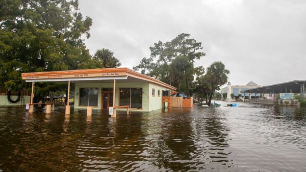
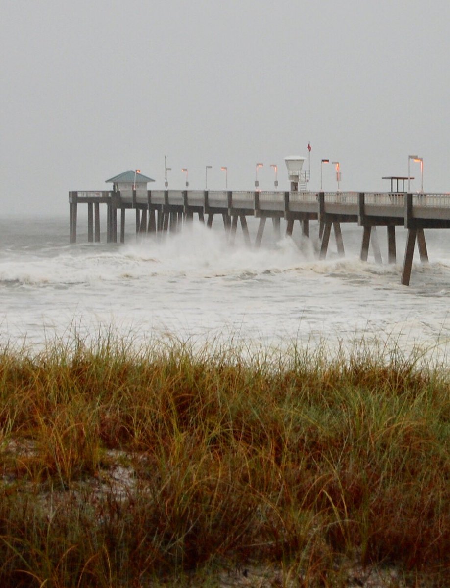
Images on
social media show scenes of flooding and wind damage.
The
hurricane made landfall at around 14:00 (18:00 GMT), according to the
Miami-based National Hurricane Center (NHC).
The NHC
warned of a life-threatening storm surge, hurricane force winds and heavy
rainfall along the north-eastern Gulf coast.
It said some
regions of Florida may experience storm surges of up to 14ft (4m).
And
"life-threatening" flash floods may occur as a result of up to 12in
(30cm) of rain.
On the
Saffir-Simpson hurricane scale, category four includes winds of up to 156mph
with possible severe damage to even well-built homes and trees being felled.
Schools and
state offices in the area are to remain shut this week.
On
Wednesday, Gov Scott said he had activated 3,500 Florida National Guard troops.
Heavy rains
are forecast for the Carolinas, which were drenched by Hurricane Florence last
month.
North Carolina
Governor Roy Cooper told residents: "I know people are fatigued from
Florence, but don't let this storm catch you with your guard down."
More than
300 miles of coastline are currently under threat, the National Weather Service
has said.
Forecasters
in Alabama have warned of possible tornados.
Driving
through the streets of Panama City Beach this morning, there were almost no
other cars on the road. Here and there the odd neon sign still glowed, but many
houses and businesses were boarded up after an emergency evacuation order.
Not everyone
though had heeded the instruction.
Dave
Jackson, a man who remembers the devastation of Hurricane Andrew in southern
Florida 26 years ago, has decided to stay, despite having a home just yards
from the beach.
His house,
he says, is built to withstand winds of 150mph and it's just high enough above
sea level that the predicted surge may well fall short.
Just along
the road, Stacey and Michael Buckner sit in their car, staring out to sea.
Their house is two blocks from the water, and they've chosen not to leave because
of Michael's elderly parents.
For the
coming hours, Dave, Michael and Stacey are on their own - the emergency
services are staying out of the storm and nature is about to take its course.
Communities
along the Florida Panhandle will feel the brunt of the hurricane first, with
Tallahassee and Panama City Beach forecast to get over 6in of rain and winds
that could reach at least 100mph.
Utility
lines are expected to be damaged due to falling trees, leading to power
outages.
But by
Thursday, the storm will move up the coast and skies will clear allowing for
"a massive wave of response and support", said Gov Scott.
Southern
Georgia will be hit next, with residents there warned to brace for possible
flash floods.
Winds will
die down as Michael pushes north into the soggy Carolinas with cities Columbia
and Charlotte each forecasted to see up to 5in of rain.
Local
officials warn people in the regions affected by Hurricane Florence last month
- even those living far from waterways - to watch for landslides or flash
flooding.
FROM .bbc.com/news/world-us-canada-

No comments